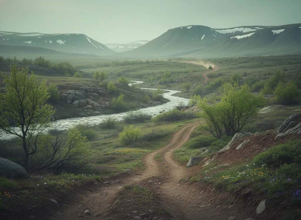
The Apache-Sitgreaves National Forests encompass 2 million acres of the White Mountains and Mogollon Rim country in eastern Arizona, the high-elevation plateau and mountain landscape of Apache and Navajo counties that is as different from the Phoenix Basin desert as any terrain in the state. Where most Arizona OHV riding is associated with saguaro, creosote, and Sonoran Desert heat, the Apache-Sitgreaves presents an entirely different Arizona: ponderosa pine forest blanketing the 7,000 to 9,000-foot Mogollon Plateau, the sub-alpine mixed-conifer and aspen parklands of the White Mountains at 9,000 to 10,000 feet, cool summer temperatures, and the canyon and creek terrain of the Black River and San Francisco River watersheds that carve through the forest. The forest OHV system covers designated trails and forest roads across the Clifton, Springerville, and Alpine Ranger Districts, with the Alpine and Springerville areas serving as the primary OHV staging communities. The terrain spans the full range of Apache-Sitgreaves character: moderate ponderosa pine forest road riding on the Mogollon Plateau, more technical canyon-edge routes in the Black River and Blue Range country, and the open mountain meadow and aspen park terrain above 9,000 feet. Arizona OHV registration is required for all machines on designated routes. The forest manages OHV use under a travel management plan; all-terrain vehicle riders should confirm current designated route status at ranger district offices before riding. The Alpine Ranger District office (928-339-5000) manages the high-country OHV routes and can direct riders to current conditions in the Blue Range Primitive Area corridor and the White Mountain trail network.
Hours
Open year-round on designated routes at lower elevations; high-elevation trails (8,000–9,000 ft) may close under snow December through March. No day-use fee. Arizona OHV registration required.
Phone
928-339-5000Website
https://www.fs.usda.gov/asnfTrip openings, seasonal updates, and the occasional deal, straight to your inbox.
FAQ
Everything you need to know before you get started.
Have a question, or ready to book? Reach out and we’ll get right back to you.